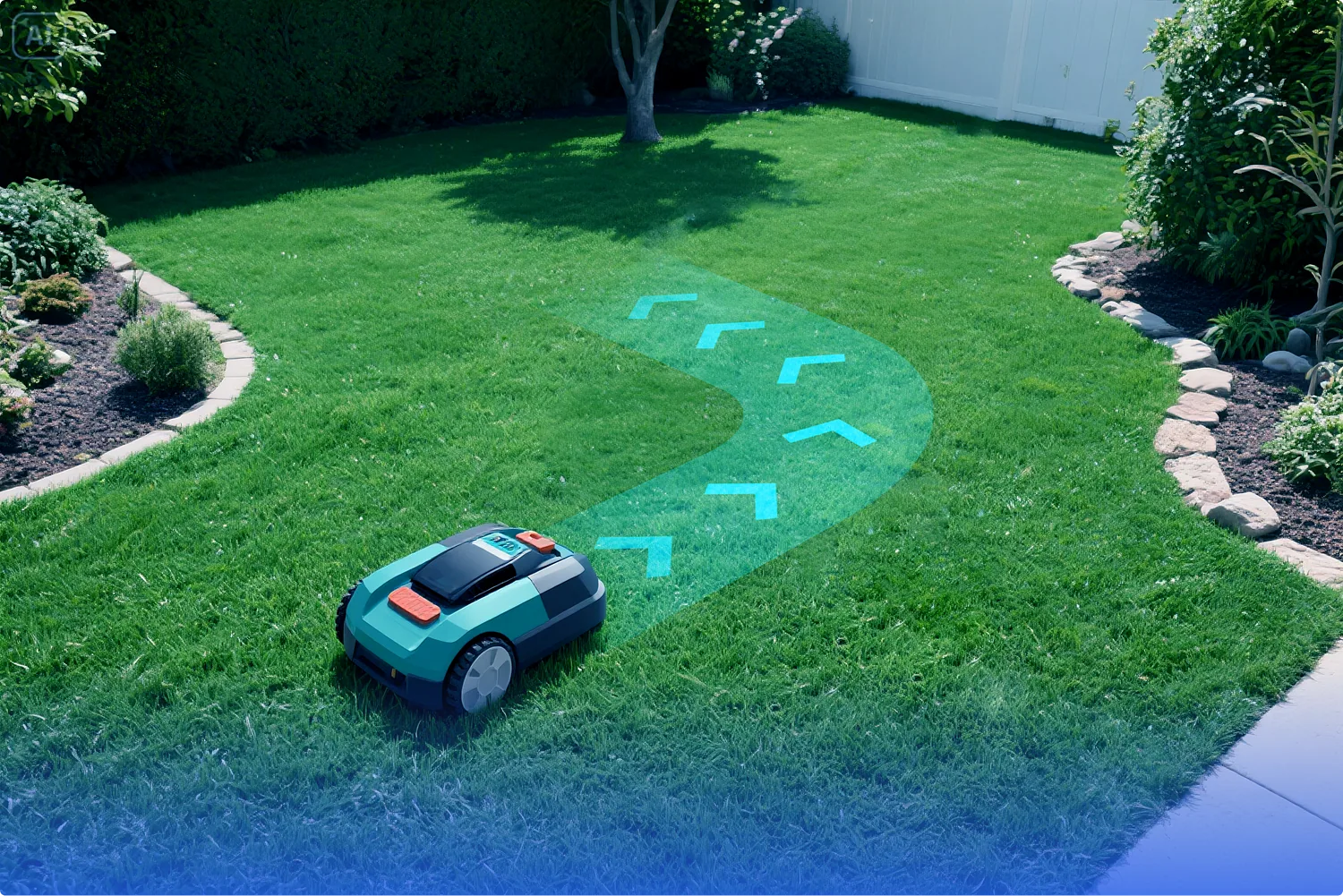
Robot Autonomous Navigation

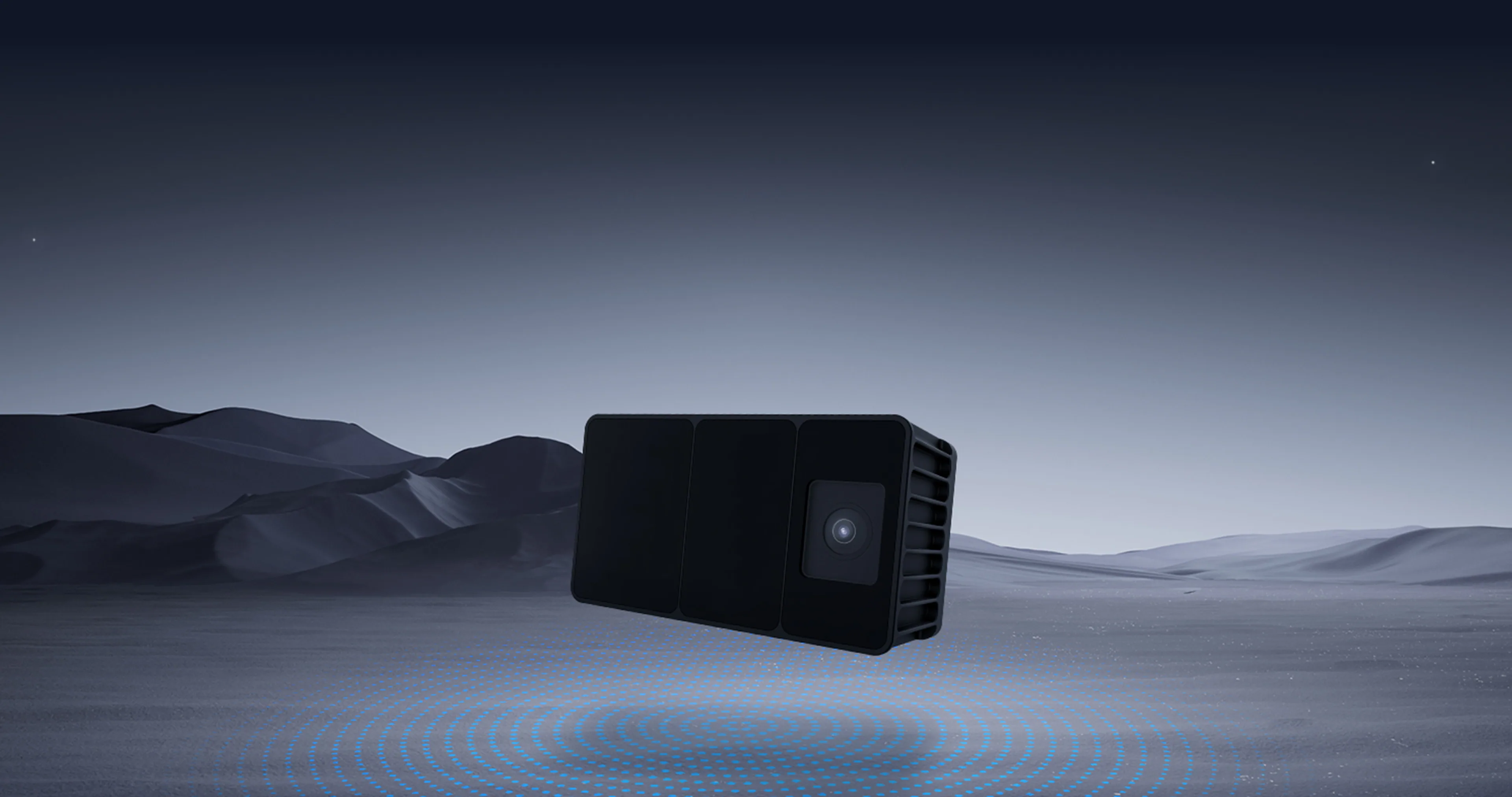
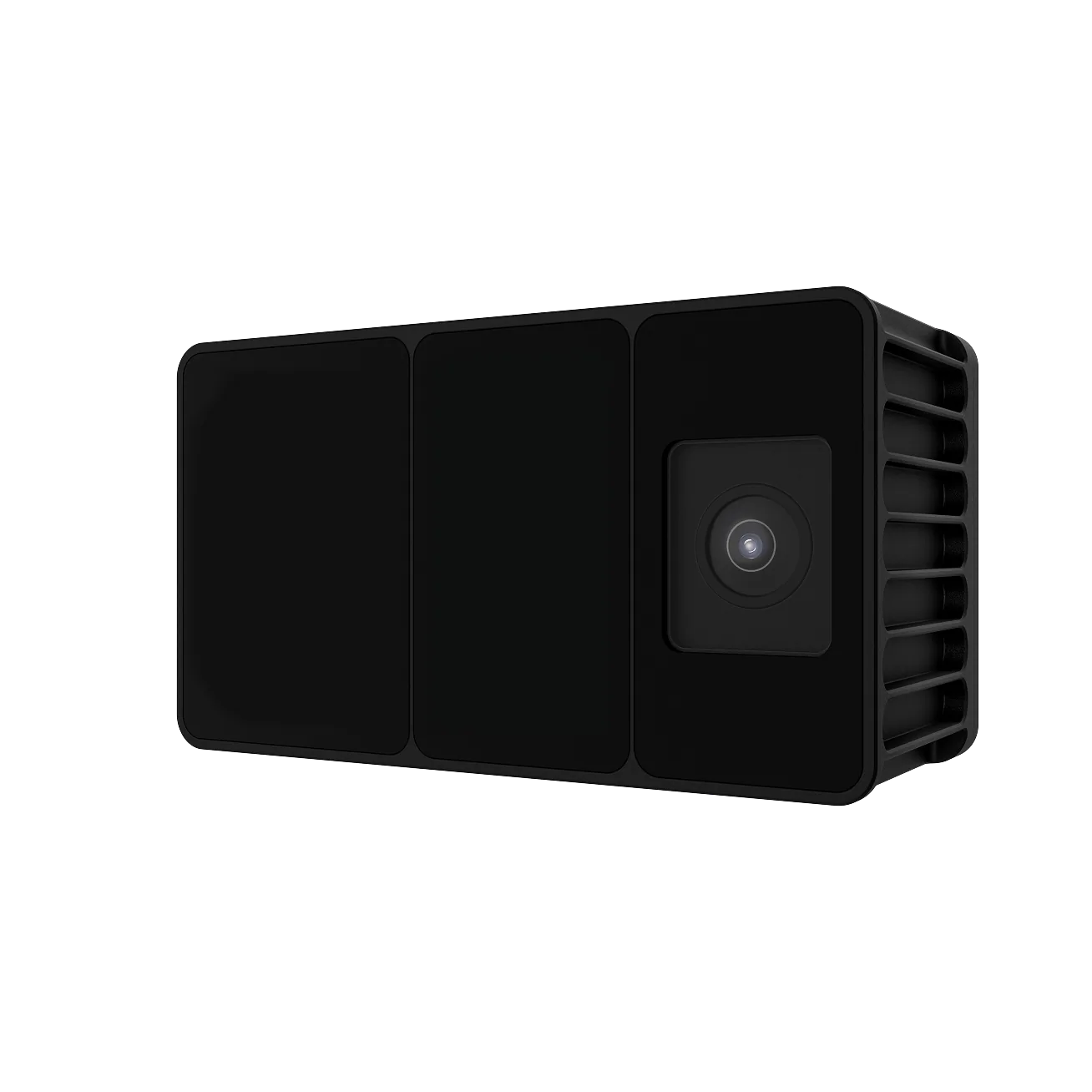
Odin 1 integrates spatial perception and localization directly onboard, enabling developers to quickly obtain real-time pose data, point clouds, etc. Odin 1 fuses an RGB camera, IMU, and LiDAR into a single compact system, allowing robots to achieve stable and reliable spatial localization with just a few lines of code. No need to build a localization system from scratch, or complicated parameter tuning, or sensor fusion dirty work, or high-performance external computing platform required.
<launch>
    <!--
        Usage: roslaunch odin_ros_driver odin1_ros1.launch
    -->

    <!-- Set node name -->
    <arg name="node_name" default="host_sdk_sample"/>

    <!-- Set parameter file path -->
    <arg name="config_file" default="$(find odin_ros_driver)/config/control_command.yaml"/>

    <!-- Set RViz configuration file path -->
    <arg name="rviz_config" default="$(find odin_ros_driver)/config/odin_ros.rviz"/>

    <!-- Launch main node -->
    <node name="$(arg node_name)" pkg="odin_ros_driver" type="host_sdk_sample" output="screen">
        <param name="config_file" value="$(arg config_file)"/>
    </node>

    <node pkg="odin_ros_driver" type="pcd2depth_node" name="pcd2depth_node" output="screen" >
        <rosparam command="load" file="$(find odin_ros_driver)/config/control_command.yaml"/>
        <param name="calib_file_path" value="$(find odin_ros_driver)/config/calib.yaml"/>
    </node>

    <node pkg="odin_ros_driver" type="cloud_reprojection_node" name="cloud_reprojection_node" output="screen" >
        <rosparam command="load" file="$(find odin_ros_driver)/config/control_command.yaml"/>
        <param name="calib_file_path" value="$(find odin_ros_driver)/config/calib.yaml"/>
    </node>

    <!-- Image overlay node - overlays reprojected points on camera image -->
    <node pkg="odin_ros_driver" type="image_overlay_node" name="image_overlay_node" output="screen" >
        <rosparam command="load" file="$(find odin_ros_driver)/config/control_command.yaml"/>
    </node>

    <!-- Launch RViz with configuration -->
    <node name="rviz" pkg="rviz" type="rviz" args="-d $(arg rviz_config)" output="screen"/>
</launch>
| Parameter Name | Parameter Name | Specification / Value |
|---|---|---|
| Depth Module | Depth Resolution | 240*180 |
| Max Range | 30 m @ 10% reflectivity (<500lux) 70 m @ 90% reflectivity (<500lux) | |
| Min Range | 0.2 m | |
| Point Rate | Up to 700,000 pts/s | |
| Depth Accuracy | ±3 cm @ 1σ [1] | |
| Field of View (FOV) | 120° × 90° | |
| Angular Resolution | 0.5° × 0.5° | |
| Laser Wavelength | 940 nm | |
| Laser Safety | Class 1 (Eye Safe) | |
| Frame Rate | Up to 15 FPS | |
| RGB Camera Module | Resolution | 1600 × 1296 |
| Shutter Type | Global Shutter | |
| FOV (H×V) | 129° H × 104° V × 173° D | |
| Overall Machine Parameters | SLAM Positioning Accuracy | ±5 cm + 1% [2] |
| Weight | Approximately 280 g | |
| Dimensions (L×W×D) | 100 × 62 × 43 mm (body) / 46 mm (with connector) | |
| Power Consumption | 11 W (rated), 24 W (peak) | |
| Protection Rating | IP66 | |
| Operating Voltage | 9-26 V | |
| Operating Temperature | -10°C ~ 40°C | |
| Storage Temperature | -10°C ~ 45°C | |
| Data Output | Point Cloud Output | True Color SLAM / Raw Point Cloud |
| Image Output | Raw RGB Image | |
| IMU | High-Frequency Raw Data | |
| Pose Output | High-Frequency Rotation and Position Data | |
| Software Interface | Provides a complete SDK & ROS interface, supports Linux platform Supports deployment of custom SLAM algorithms | |
| MindCloud Software Suite | · MindCloud Studio (PC · Local Professional Processing) · MindCloud Go (Mobile · On-site Viewing & Uploading) · MindCloud Render (PC · Gaussian Rendering Software) · MindCloudX.AI (Cloud · Multi-core Computing & Deep Application Platform) | |
High-performance spatial perception, giving the device keen "eyes"
Breakthrough in the limitations of traditional RGBD cameras, providing higher accuracy and wider coverage of environmental perception capabilities

Persistent spatial memory, creating "hippocampus" navigation and cognition
Provide intelligent agents with long-term stable environmental cognition and precise navigation capabilities. It can "remember" and "find the way" in complex environments
Compact and lightweight design, providing open and compatible "interfaces"
Easily suitable for multi-platform deployment such as robots and UAVs, supporting custom development and customization

Provide an open SDK that can output complete original and processed point clouds, images and IMU data to enhance scalability and development flexibility

Robot Autonomous Navigation
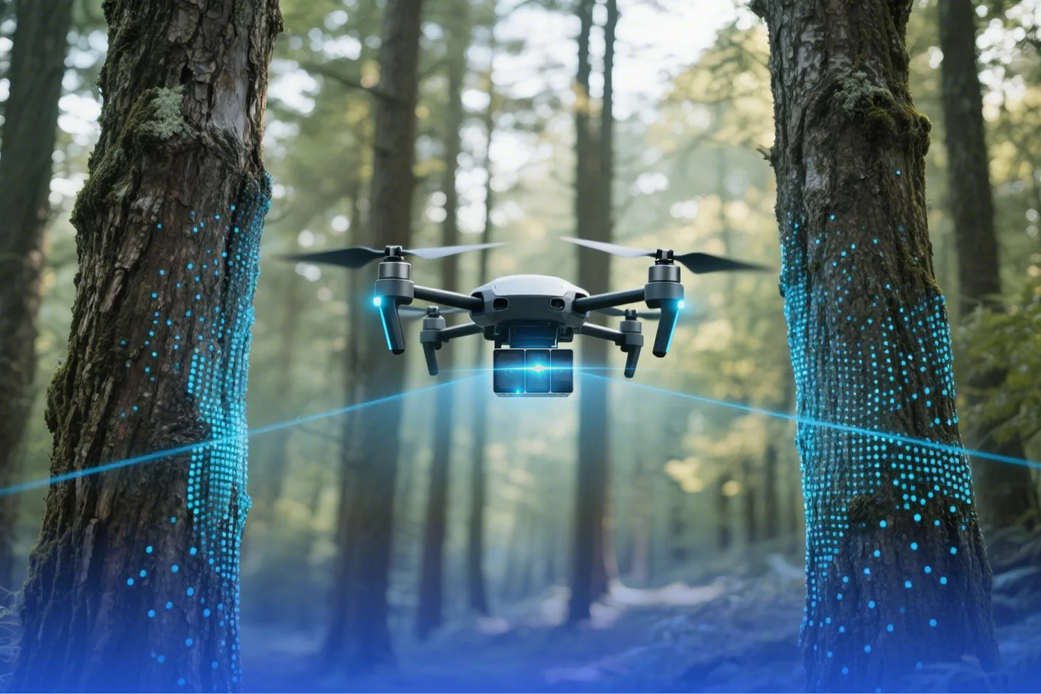
UAV Inspection & Mapping

Warehouse AGV Localization
AR Spatial Anchoring